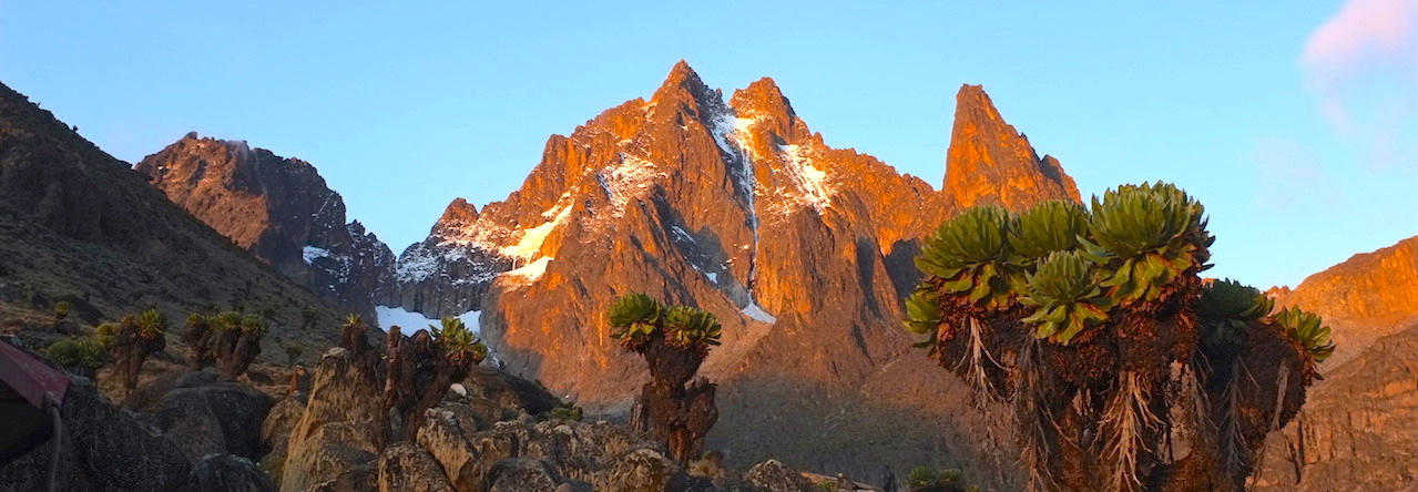
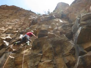
We repeated Stiletto – excellent first pitch, mungy second, and interesting third. Classic!
Page 2 of 2
This is our second trip to Satima from the North. The first was a very enjoyable trip where we reached the moorlands below the summit in the area of the Dragoons Teeth.
The highlands of Aberdares are Afro-alpine moorlands. Satima is the highest peak in the Aberdares and is usually climbing in a short walk from the road head on the south side of the mountain. The Northern end of the Aberdares Park is much less frequently visited, but has well developed roads and good camp sites. The hike from the North side is rarely done and is over open moorland with many interesting views and rock features. It is a solid days hike up to the summit and back to the road head on the North side.
Previously, the Shamata gate accepted cash and provided official receipts. We will reconfirm before departure that Smart Cards are not required.
We will plan to camp on Friday in one of the high campsites or at the road head (special permission) on the approach from Shamata Gate. On Saturday morning we start at 7 AM and will hike up to the summit of Satima and return to camp. On our last trip, the roads were wet and we weren’t able to camp as high as we would have liked. If the weather cooperates, we will plan to camp in the area of the trail head. Sunday morning is available to visit other interesting spots on the north end of the park (i.e. the Twin Hills) with return to Nairobi in the afternoon.
An alternative descent and return plan is to descend from the summit to the road head on the south side to meet a second car and return to Nairobi from there. Some of the group will probably take this route as it requires less descent to reach the cars.
The meet will leave from Nairobi on Friday at no later than 12:00 Noon at ABC to drive up and into the park.
The standard route to Shamata gate is through Gilgil to Nyahururu (Thompson Falls). From Nyahururu, the road across the North of the Aberdares in the direction of Nyeri is taken. The right hand turn to the Shamata gate is at a location called 4 miles (or Malonne) and is described as about 4 miles from Nyahururu. The muram road to the Shimata gate is about 39 kms and the gate reports that the turning from the highway and the muram road are all sign posted to the Shamata gate. The drive to Nyahururu takes 3 – 4 hours and 1 hour should be allowed to travel from Nyahururu to the park gate. The park closes at 6 PM. The Shamata gate accepts only cash and provides official receipts.
On our return last time, we found a more direct and safer route. This route goes from Nairobi to Njabini (the town you pass to go to the elephant at the south end of the Aberdares). The road to Njabini leaves the Upper Naivasha Road at the flyover in the highlands just before you start the descent into the Rift Valley. From Njabini, it takes a brand new road in the direction of Ol Kalau. About 8 kms before Ol Kalau, a right hand turn leads to the base of the Aberdares and then directly up the escarpment to Shimata town. Its all good road, avoids descending into the Rift Valley at Naivasha and is definitely a lot safer as traffic is light. The trip takes about one hour less as well. For those who want to try this route, we can convoy from ABC at 12 noon.
The full hike should be a strenuous but well rewarded day. We will be camping next to the cars and those wishing to participate will need overnight camping gear. Sharing of tents and cooking stoves and group meals is possible, but each participant will need a sleeping bag and pad that good to the range of 5C. Clothing for a chilly night (including warm hat) and rain is highly advised. Gaiters are a good idea for keeping your legs dry if the tussik grass is wet.
I have had inquiries from families and we had a diverse group the last time which worked well. We will arrange to have two rangers so that we can break into groups with different speeds and objectives. The more leisurely group should be able to reach the Dragoons Teeth with excellent views. The advance group should be able to reach the summit, provided the weather cooperates.
Basic equipment for a day hike is required. Plan to bring sun screen, protective hat, 2-3 liters of water, light pack for lunch and rain gear. On longer day hikes like this in remote areas, t is usually advisable to carry a head lamp and a bit of extra clothing and food in case of emergencies. The Aberdares can cloud up quickly with fog, rain and rapid temperature changes. On last trip, although we had mostly sunny conditions, but we had an impressive hail storm on the moorlands as we started down.
Park fees for two days are required and these can be accessed at: www.kws.org/export/sites/kws/misc/downloads/KWS_Park_Entry_Fees_2009.pdf
Two rangers will be necessary and this cost will be shared by the group. The official rate is 1,500 KSH per 6 hours day and we will need to negotiate how many days or program requires on site.
Those interested in the trip should send me an E-mail, j.mariner@cgiar.org to express interest (or reconfirm interest) so we have an up to date list. I am away until Oct 12th, but will be on E-mail coordinating arrangements. We will plan to meet at the club on Tuesday, Oct 11 at 8:30 PM to discuss the route, car pool arrangements and other issues. Alex (the resident Club expert on the Aberdares) has agreed to be at the club to facilitate the meeting.


